Overview
Built for the field, not the brochure.
In Colombia’s topography, GNSS productivity is decided by satellite geometry, ionospheric conditions and the discipline of the field crew. We deliver receivers with full multi-constellation tracking and configure NTRIP profiles for the closest CORS network from day one.
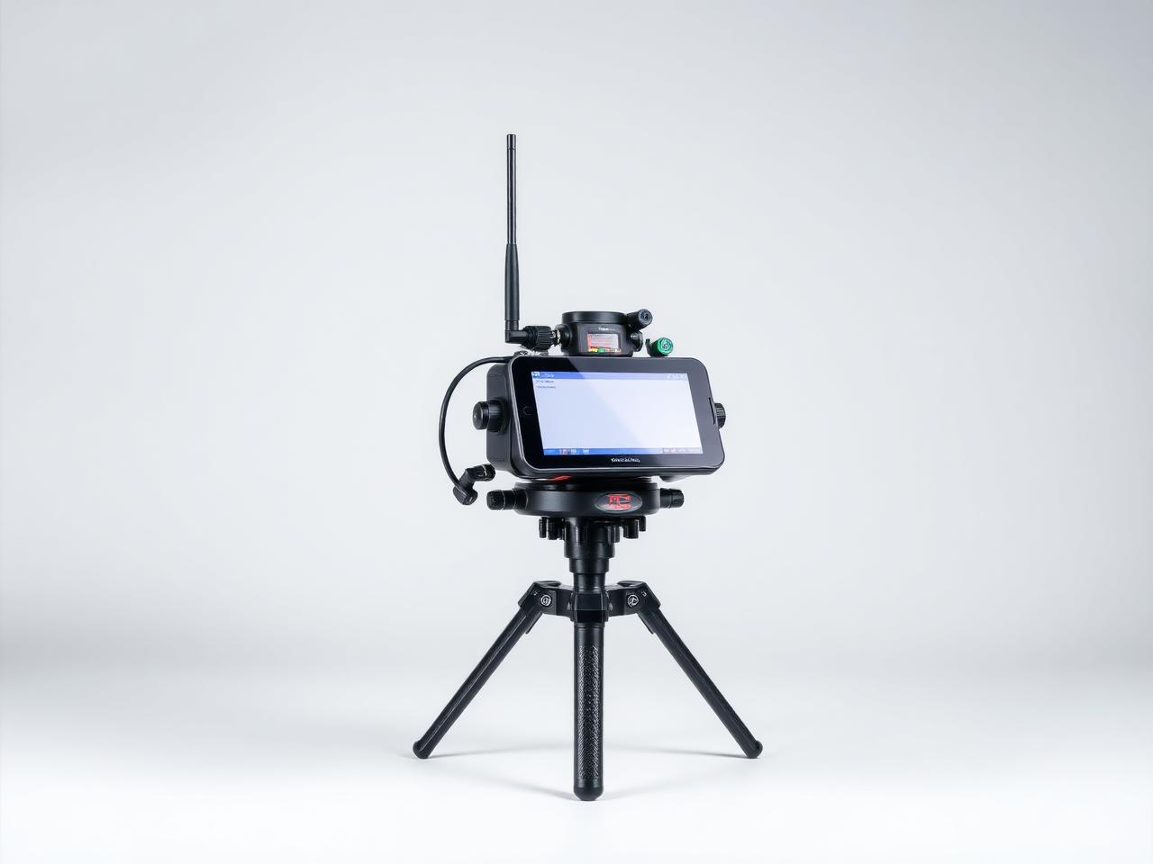
Base & rover sets
Complete RTK configurations with UHF radios, NTRIP modems and ruggedized controllers. We deliver pre-paired and pre-configured so the first job after delivery is real fieldwork, not setup.
Network RTK / NTRIP
We configure access to public and private CORS networks across Colombia, including credential management, fallback profiles and offline base scenarios for remote zones.
IMU tilt compensation
Modern receivers we sell support tilt compensation up to 60°, eliminating the need to plumb the pole on cluttered sites and substantially reducing crew fatigue.
Post-processing
Full RINEX export for static and kinematic post-processing. Compatible with Trimble Business Center, Leica Infinity, RTKLib and Topcon Magnet Tools.